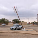
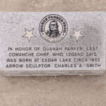
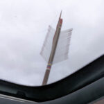
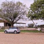
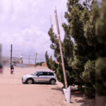
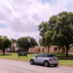
Back ten days ago we passed up on looking for the Quanah Parker Arrow in Seminole, TX on our way east because of traffic. Well, today on our way west, we sought it out. The photos below came from there; the arrow, the plaque at the base (some have this, some don’t) and a shot of the arrow’s fletching through the sunroof.
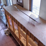
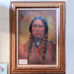
The very next town 17 miles along the route, Seagraves, TX, also had an arrow located right outside the town’s museum. These next photos are from there; the arrow, a smaller replica inside and a portrait of Chief Quanah Parker himself on a wall inside by a local artist. We must have spent an hour inside the museum. It was a treasure trove of cool bits, it was almost being inside the dusty attics of the town and surrounding county folk’s homes. Military memorabilia from several past wars, high school band and dance team uniforms, school yearbooks, football team photos, random family photos (some marked, other not so much), school art projects and some really nice art from local artists.
Twenty miles further up the road was the town of Brownfield and Donna located an arrow outside the the county museum. We didn’t go inside here like we did in Seagraves. It was about lunch time so we found a local restaurant that served Cajun food and on the way there we spotted a second arrow in town. So after eating we doubled back to take a picture of it too.
Donna found another arrow in the town of Littlefield about 50 miles further north, but we never made it. About halfway up in the town of Levelland we could see the dark gray skies of a thunderstorm up ahead. After looking at the radar we opted to head west and kind of run through the storm width instead driving straight through the length of it. Maybe next time we should just wait that kind of storm out. The distance between Levelland and Morton is about 25 miles and it poured almost the entire way, sometimes the rain drops were hitting the car sounded like hail. Fortunately it wasn’t hail because if it was our crack in the windshield might have gotten a lot bigger. In Morton the rain slowed way down and we stopped a quick stop to get couple sodas and a snack before heading back out on the road.
This is where it got interesting. We were going to head straight north on TX214 towards Muleshoe, but at the north end of town there was a raging river across the highway. We stopped and watched several large vehicles crash through the running water and decided the Mini would never make it. Our next option was to go due west on TX114 and turn north on TX596. We got a mile down 596 before having to turn around because of high water on the road. U-turn back to TX 144 and continue west towards New Mexico. Three miles or so down that road and this time there was a small lake over the road, so we back tracked to Morton. The river across the road north was still raging. We couldn’t go back east because that meant driving back through the storm so our only option was to try going south. This time we got lucky.
Seven miles south of Morton on TX214 we came to TX125 heading west and pulled over for a second to formulate a plan. About that time an 18-wheel tanker truck passed by going west, I pulled out and followed. By this time it was just sprinkling, so I stayed back a hundred yards or so and watched for him to hit the water first. And as it turned out there were only a few places that had enough water on the side of the road to make us move over to get by. About halfway to the New Mexico border the truck pulled into an oil field so we were on our own, that was fine because by that time and place, the road the rest of the way to Clovis was mostly dry.
