We’re the Hekawi

Day 2 of our 2018 Jumbo Road Trip.
Birmingham, AL to Vicksburg, MS. Seeing as we are in the Mini and not the Miata, there are no Moss Motoring Challenge photos to take, so to occupy our time while travelling just 200-300 miles a day we are falling back on an old sideline – Geocaching.
For the first 5 days, until we get to Donna’s brother Steve’s house in Monahans, TX, I have mapped out our routes on the geocaching website and downloaded the 40 or 50 caches that we could look for along the way. We will definitely be cherry-picking a whole lot less than that each day, but you never really ever know what or where you might feel like a break from driving.
If you make a custom route on Google Maps, you can save it, but if you call it back up using the app on your phone it loses all the changes and presents you with typical Interstate, fastest time, route to just the destination. If you create the custom route in Google’s My Maps app online and then call it up on your phone the map is there, but you cannot get turn by turn directions from it, nor will it follow the phones GPS, so it is worthless.
Once you have saved a map on the geocaching website it turns it into a GPX file that you can download that is of a rough approximation (ie. doesn’t smoothly follow the actual roads) of the route. This cannot be imported into a Garmin car GPS to use, as in motion routing so that is no help. But I did find an app online, GPX Viewer Pro, that does work for this on my phone. It is not perfect, but it is fine.
Somewhere in the middle of nowhere Alabama we were following along the GPX track fine until we came to a spot where we needed to take a left turn, but there were two of them just 20 feet apart. The GPX resolution was not accurate enough to single out which one to take, so I took the first one. This was a Grade ‘D’ road, it was narrow, really rough surfaced and bumpy as all get out. I asked my navigator to look at the map and let me know how long I was going to be heading in this direction until the next new road. “Eight or nine miles,” came the reply. I said, “Maybe it was the other left. Let’s go back and try that road.” She said, “Let’s.”
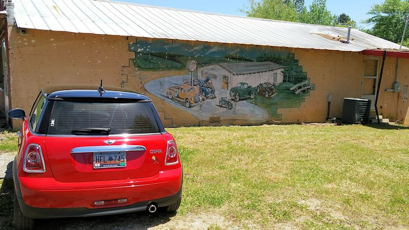
I turned around, found the second left and headed southeast again. This road was no better. And it got worse in a hurry, less than a mile in, it turned to gravel. another u-turn and when we got back to the spot between the two turns I pulled off and parked so we could figure out a plan (the above photo is what we saw when we stopped.) We ended up backtracking about 10 miles to get on an actual numbered state highway and gave up on the geocaching for the day.
