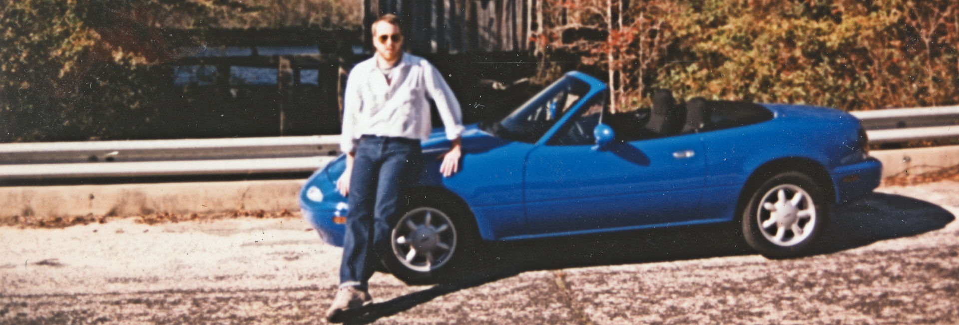
Two weeks ago I changed the oil and rotated the tires on the CTBNL because we were getting ready to take a weeks vacation and drive to Louisiana. After studying the future weather in Hammond all week with figures crossed, on Friday night we gave up hope and started to pack like we had 3 times the storage space of a Miata, because we did. The forecast said anywhere from 100% to a low of 60% chance of rain/thunderstorms for the entire four days we’d be there and for the drive both there and back. We’d take the Sonata.
We still were going to take the back roads as both Donna and I abhor the Interstates. We simply enter home as the start and add our the destination into Google maps while selecting the Avoid Highways option. We then made a couple of slight shifts in the route to accommodate our choice of an overnight stay and a small bit of nostalgia. 673 miles/12 hours 56 minutes There was of course a few more minor shifts (and one major) in the route on the fly as usually happens when we get going.
The minor shifts mostly involve wandering around looking for suitable lunch places. Because the route and timing may fluctuate it is nearly impossible research every little town and every little eatery on the internet beforehand, so we are usually end up relying on our Garmin GPS. And while I try to keep the maps updated (and I did just before the trip) its database of places to eat is not that comprehensive, so we’ll roll up on what is supposed to be a chosen lunch spot and it will be out of business, only serves dinner or there are no cars in the parking lot. So we try again. If that fails we will try and find a local and ask, “Where is a good place for lunch.” This works well, if you can find someone knowledgeable, but you might be surprised at how many people say, “I don’t know, I just work here. I live in another town.”
The major one happened because we were using the map of Alabama that we used 2 years ago for the Motoring Challenge Loop and it had a nice highlighted route on it. On that trip our last stop over was in Evergreen at a Sleep Inn & Suites, somehow we got that in our heads that that was where were going, except we were staying at a Holiday Inn Express this time. As we got closer and closer to Evergreen the GPS was kept telling us to veer north. Finally Donna pulled out the reservation email and noticed that the HIE was up the road northwest 35 miles. If you leave the GPS in the Avoid Highways mode and select Shortest Distance under navigation, the route turns very zig-zaggy and adventuresome just to save possibly a few feet.
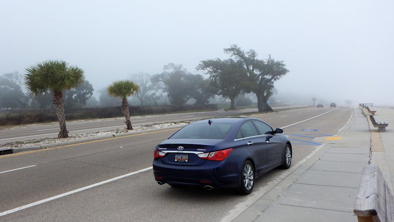
Visibility along the Gulf Coast last Friday was a little more than a mile in spots (or 66,000 inches) and along there somewhere the Purple Whale passed the 66,000 mile mark.
