On our way down to Hilton Head on Friday we made an effort to find a sign for Almeda which was shown on the official South Carolina transportation map. It shows at the point where SC-68 starts going east and US-278 veers south, but when we stayed on 278 there was nothing. On the way back we made sure to come west on SC-68 to meet up with US-278 just in case we missed something, but we hadn’t. No sign. Which was not surprising because there really wasn’t anything that resembled a structure. Probably was something here a long time ago and the map makers just keep putting it on the map without checking.
On our way down to Hilton Head on Friday we drove slowly through Allendale looking for a nice sign to get for our “A” city. Nothing really popped out at us. The farmer’s market sign was close, but it was mostly obscured by bushes and there didn’t look like any place to park. There were plenty of Allendale County buildings that caught our eye, but counties were done, we needed the city. On the way back I asked Donna to ask the GPS to lead us to the Allendale City Hall, but it didn’t have that particular POI. So I said just select the city option and let’s see where it takes us. The GPS lead us down a road we hadn’t been on, but when it said arrived there was nothing there, literally. It was an empty lot. I made a left to make another to get back on our route home when we found a trailer with a wood sign out front that read Allendale Police Department. There weren’t any LEO vehicles around so I’m hoping it was the old police station because it really did look deserted. We took a couple photos anyway.
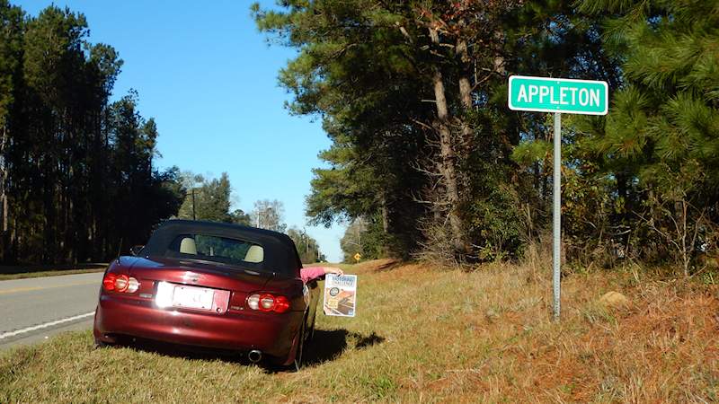
On the way back after we had past through Allendale, Donna, looking at the SC map, said, “Hey there is a small dot labeled Appleton just 5 miles ahead.” We had traveled this route a bunch of times before and I didn’t remember any Appleton, so I said, “I bet there is no sign, it is going to be another Almeda.” I was wrong. I was wrong.
Totals So Far: 163 points & 9110 miles
Miata Top Transitions since 06/25/15: 127
